
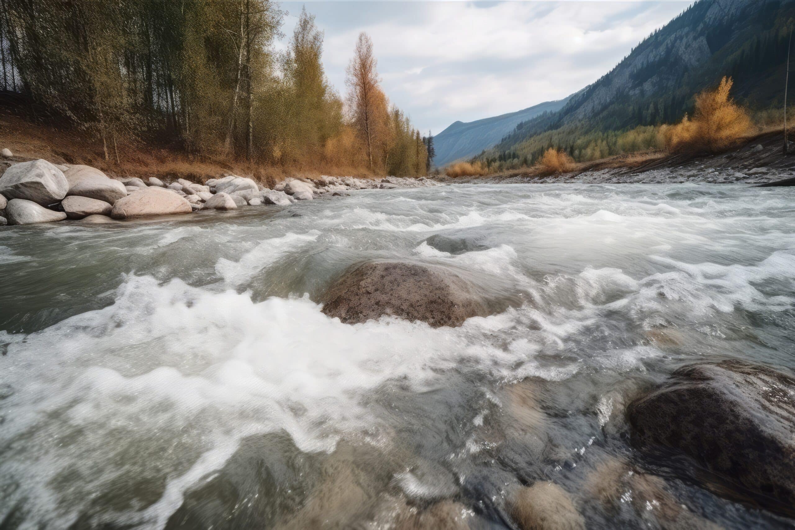
How do you know if a river is deep or shallow?
Key Takeaways
- One common approach to accurately measure the depth of a river is using a stilling well in the river bank or attached to a bridge pier.
- The stilling well is a structure connected to the river through underwater pipes and allows for the precise measurement of the river’s depth.
- Accurate measurement of river depth is crucial for flood prediction and management, water resource management, environmental monitoring, and navigation and infrastructure safety.
When observing a river, it can be difficult to determine its depth just by looking at the surface. However, scientists and researchers have developed various methods to measure the depth of a river accurately. One common approach is using a stilling well in the river bank or attached to a bridge pier. This method allows for precise measurement of the river’s depth, providing valuable information for hydrological studies and river management.
Stilling Wells and River Depth
A stilling well is a structure placed in or near a river to measure the depth of the water. It consists of a well, usually made of concrete or steel, that is connected to the river through underwater pipes. The stilling well is designed to allow water from the river to enter and leave freely, ensuring that the water surface inside the well remains at the same elevation as the water surface in the river.
Measuring River Depth
Once the stilling well is in place, various methods can be used to measure the height of the water surface inside the well. These methods include the use of floats, pressure sensors, optic sensors, or acoustic sensors.
Floats
Using a float to measure the river depth is a simple and traditional method. A float, such as a small buoy or a weighted object, is placed inside the stilling well. As the water level in the well rises or falls, the float moves up or down accordingly. The position of the float is then observed and measured to determine the height of the water surface, also known as the stage or gage height.
Pressure Sensors
Pressure sensors are another common method used to measure river depth. These sensors are placed inside the stilling well and are designed to detect the pressure exerted by the water column. By accurately measuring the pressure, the height of the water surface can be determined. Pressure sensors are often used in automated monitoring systems, providing real-time data on river depth.
Optic Sensors
Optic sensors, also known as level sensors, use light-based technology to measure the height of the water surface. These sensors emit a beam of light that is reflected back by the water surface. By analyzing the time it takes for the light to return, the distance between the sensor and the water surface can be calculated, thus determining the river depth.
Acoustic Sensors
Acoustic sensors, also called ultrasonic sensors, rely on sound waves to measure river depth. These sensors emit high-frequency sound pulses that bounce off the water surface and return to the sensor. By analyzing the time it takes for the sound waves to travel, the distance to the water surface can be determined, providing an accurate measurement of the river depth.
Importance of Measuring River Depth
Accurate measurement of river depth is crucial for various reasons:
- Flood Prediction and Management: Knowing the depth of a river helps in predicting and managing floods. By continuously monitoring the water level, authorities can issue timely warnings and take necessary actions to mitigate flood risks.
- Water Resource Management: Understanding the depth of a river is essential for managing water resources effectively. It helps in determining the available water volume, assessing water quality, and planning water allocation for various purposes.
- Environmental Monitoring: Monitoring river depth provides valuable data for environmental studies. Changes in water levels can indicate the health of aquatic ecosystems, the impact of climate change, and the effectiveness of conservation efforts.
- Navigation and Infrastructure: River depth information is crucial for safe navigation of ships and boats. It also aids in the design and maintenance of infrastructure such as bridges and dams, ensuring they are built to withstand the hydraulic forces exerted by the river.
Conclusion
Measuring the depth of a river is a complex task, but thanks to the use of stilling wells and advanced sensors, scientists and researchers can accurately determine the height of the water surface. This information is vital for flood prediction, water resource management, environmental monitoring, and ensuring the safety of navigation and infrastructure. By understanding the depth of a river, we can make informed decisions and take necessary steps to protect and manage this precious natural resource.
Related Websites:
FAQs:
Q: Why is determining the depth of a river important for fishing?
Determining the depth of a river is important for fishing because it helps you understand where the fish are located. Different fish species prefer different depths, so knowing the river depth allows you to target specific areas where fish are more likely to be found, increasing your chances of a successful catch.
Q: What factors influence river depth?
Several factors influence river depth, including seasonal changes, location and geography, water flow and speed, as well as surrounding terrain and vegetation. These factors can cause fluctuations in the depth of a river, which in turn affects fish behavior and their preferred habitats.
Q: How can I determine if a river is shallow?
There are several indicators of shallow rivers. Visual cues include ripples or disturbances on the water’s surface, exposed rocks or obstacles, and noticeable shallows or sandbars. Sound cues include trickling or gurgling water and frequent contact with the riverbed.
Q: What are the indicators of a deep river?
Indicators of a deep river include visual cues such as smooth or calm water, lack of visible obstacles or shallow areas, and darker or deeper-colored water. Sound cues include deep, steady flow and little to no contact with the riverbed.
Q: What techniques can I use to determine river depth?
There are several techniques to determine river depth. You can use fishing equipment such as fishing rods with depth markers or weighted lines/sinkers. Additionally, utilizing technology like sonar fish finders or depth maps/charts can provide accurate measurements of the river depth.